Learn More
Riverton / Aparima Property Guide
Riverton / Aparima has a coastal and estuary setting within Southland District. The locality includes established township and rural-edge property contexts; the place name cannot tell you whether a specific site is exposed to a hazard, has a service connection or suits a proposed use.
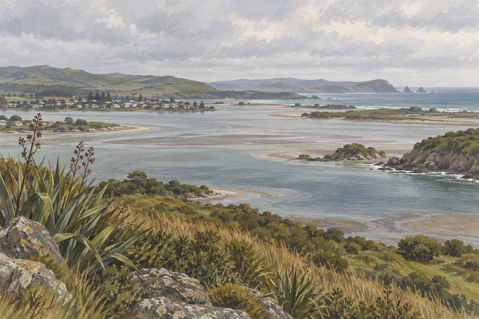
Understand what the coastal setting means for your search
Southland District Council includes Riverton / Aparima in its coastal-hazard work. Read the council’s current coastal-hazard information together with address-specific records. Regional material supports investigation and planning; it is not a conclusion about an individual title, building, insurance policy or future condition.
When comparing a township home, a coastal-facing property and a rural-edge site, note differences in access, drainage, land, services and maintenance. Confirm the routes and services that matter to your household. A viewing and nearby properties cannot establish how the exact site behaves in different conditions.
Work through the records in a sensible order
- Confirm the exact address and council boundary.
- Use Southland Maps and the current District Plan to identify available site information, rules and overlays.
- Request the relevant LIM and property file, then ask your lawyer to review title and consent questions.
- Ask about access, wastewater, water, stormwater, drainage, maintenance and any alteration or intended use that matters to you.
Maps, LIMs and property files have limits. Ask your lawyer, insurer and relevant technical professionals what the information means for the property. Obtain an independent building inspection and, for coastal or engineering concerns, advice from a suitably qualified specialist. Do not infer the result for one property from a neighbour’s experience.
Compare and plan before an offer
Keep a written list of confirmed facts and open questions. Compare layout, condition, access, land, services, ongoing maintenance and purchase costs—not simply the listing description. If you plan to subdivide, alter a building or use land differently, get council and independent planning and legal advice before relying on that possibility.
Current listings are examples, not a complete Riverton market measure. To discuss a property the office is marketing, call Ray White Invercargill on 03 218 6117 or use the enquiry form. This guide is general information and does not replace legal, planning, engineering, building or insurance advice.